Picture source: xeipe
Europe
Flood Discharge Run Off Analyses in the State of Burgenland

Assignment location
Burgenland in Austria, Europe

Client/Funding
Government of Burgenland /
BMLFUW and Government of Burgenland
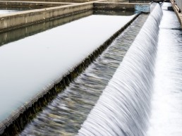
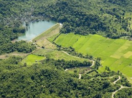
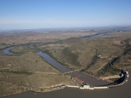
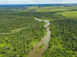
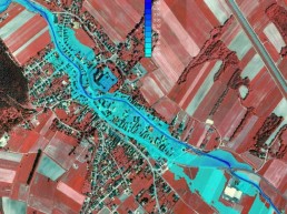
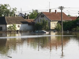
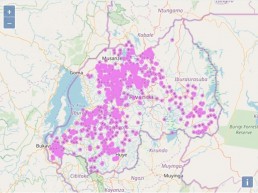
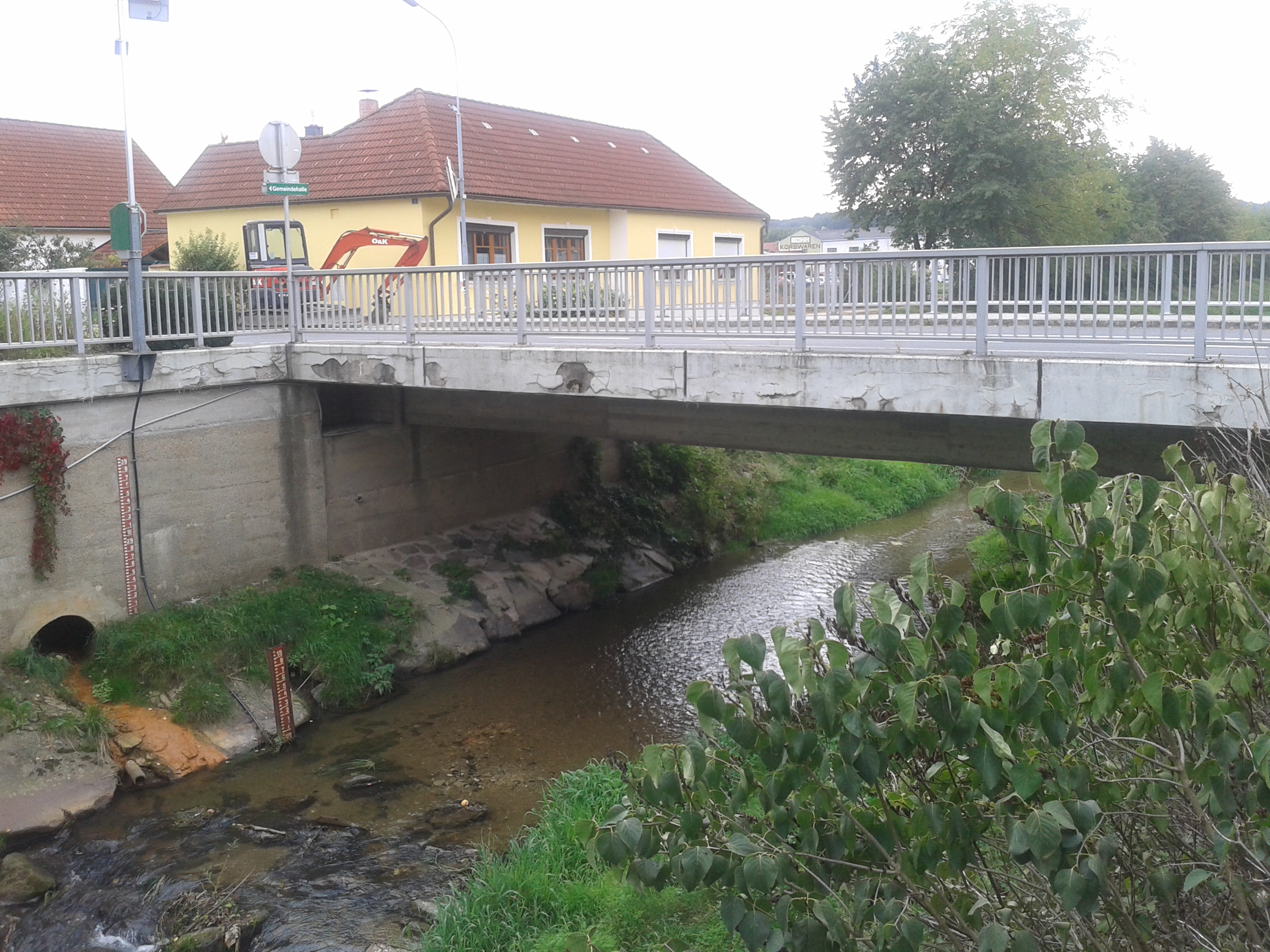
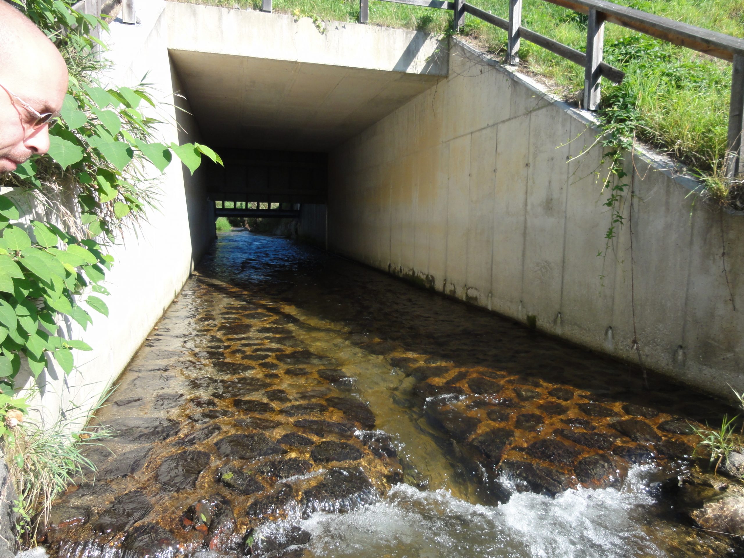
Flood discharge runoff analysis is used as a basis for the elaboration of further flood management plans such as flood zone and flood risk plans. Following (lase scan) surveys, HYDROPHIL provided 2D – runoff hydraulic models based on hydrology data provided by the client. Whenever hydrological data were not readily available, precipitation / runoff models were generated. The result of the analysis was included in GIS maps showing Q30, Q100 and Q300 flooding areas, flow velocities, and water depths. The following streams and rivers were investigated:
- Tessenbach (Q100 to approx. 31 m³ / s) in the area of Neudorf to Markt St. Martin and Ausseraubach in the area of Kaisersdorf (in total approx. 7.0 km)
- Schwarzenbach / Stooberbach (Q100 approx. 40 - 120 m³ / s) from the area of the retention basin Stoob to the border of Lower Austria / Burgenland and the Sieggrabenbach from the mouth into the Stooberbach (total approx. 30.0 km)
- Selitzabach / Frauenbrunnbach in the communities Ritzing, Horitschon, Neckenmarkt, Unterpetersdorf, Raiding and Großwarasdorf (in total about 28.0 km)
- Rabnitz (Q100 to approx. 60 - 110 m³ / s) from Karl to Klostermarienberg via Rabnitz (approx. 24.0 km) and feeder streams
- Rustenbach (Q100 up to approx. 26 m³ / s) in the area of Oberloisdorf (approx. 1 km)


© Hydrophil GmbH